-
Our prices are negotiable. Lowest price guarantee!
-
Worldwide shipping DHL, UPS, FedEx, PostNL
-
Pay before or after delivery with Klarna
-
Customers rate us with an 8.6
Questions about this product? Contact us!
Frequently asked questions
Photos:
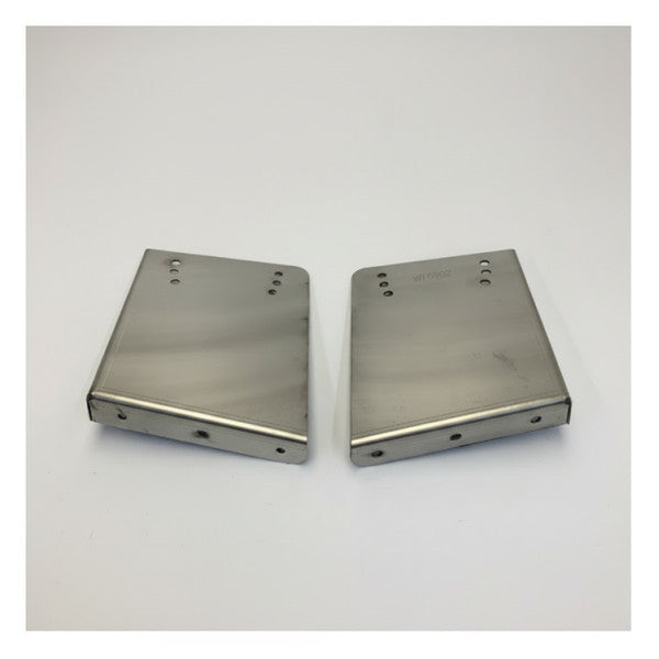
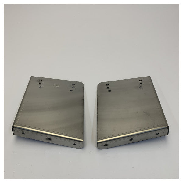
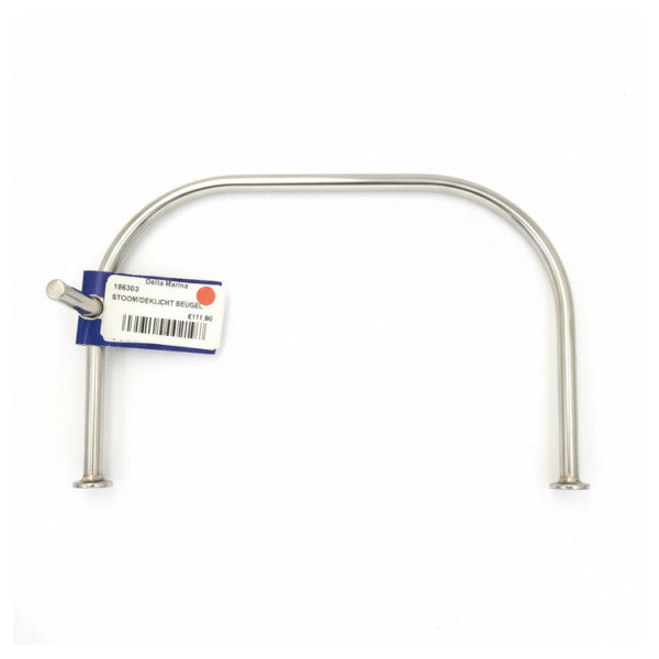
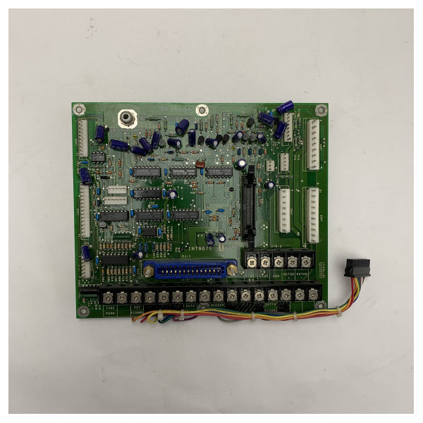
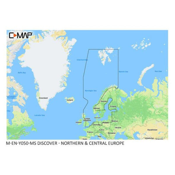
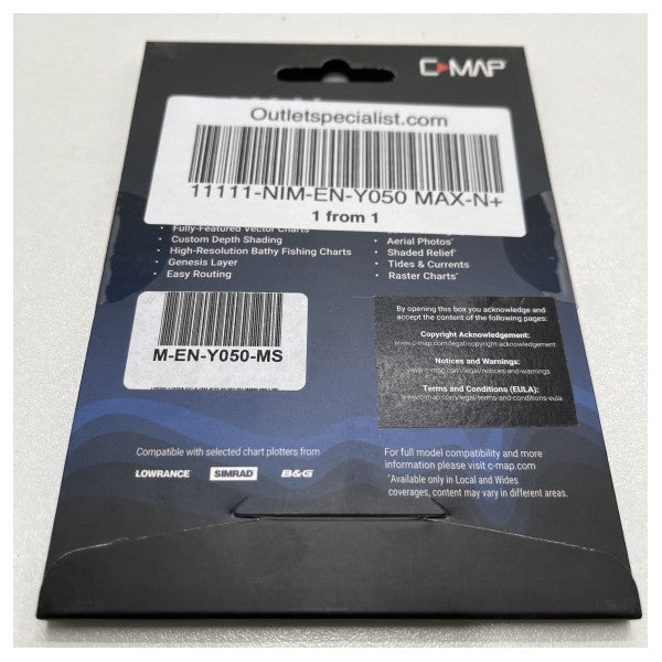
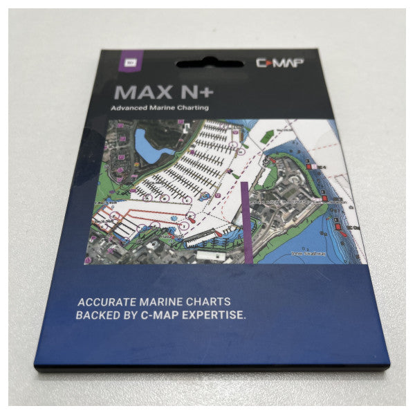
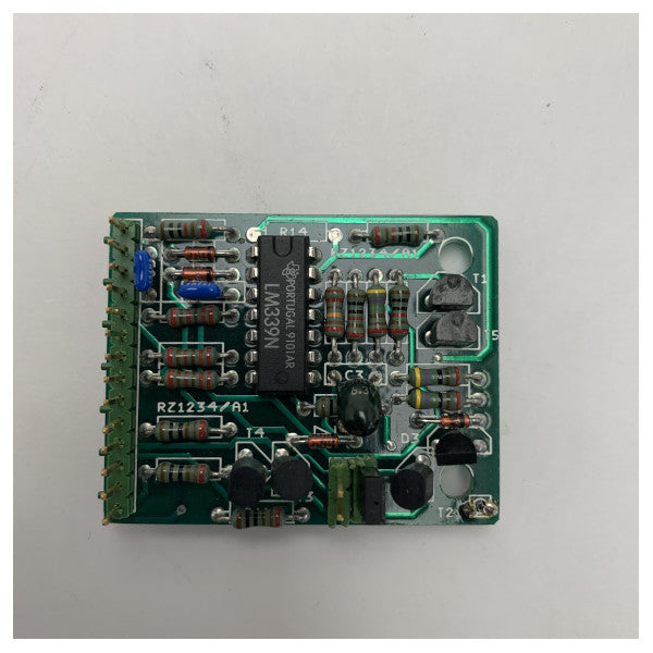
The main photo of each item is a stock photo for illustration. The other images show the actual condition of the product that is in stock.
Prices & Bidding:
At Outlet Specialist, you can make a bid on the displayed price.
If your bid is accepted, you will automatically receive an invoice.
If your bid is not accepted, we will send you a non-binding counteroffer.
Bid is Binding:
Once your bid is accepted, an order will automatically be created for you.
Returns:
In principle, purchases cannot be returned. Did you order an item incorrectly and wish to return it?
Please note we deduct 20% of the purchase amount for handling.
Exceptions to this are incorrectly delivered, deviating, or defective products. In these cases, please contact us.
Delivery & Pickup:
Most products shown online are available for immediate delivery from stock (in 99% of cases).
You have the option to pick up your order.
Bidding at Outlet Specialist: that's how it works!
Do you see an article that you would like to have, but do you find the price a bit high? No problem! At Outlet Specialist you determine what you pay.
How does it work?
- Make an offer: Via the "make an sacrifice" button you can make an offer on the article of your choice. You can choose from a predefined discount or enter an amount yourself.
- Evaluation: Our employees look at your bid and assess whether this is acceptable.
- Response: You will soon receive a response from us. This can be an acceptance of your bid, or a counter -proposal with an adjusted price.
Agree? Order! Do you agree with the final price? Then you can easily place the order via the quotation that you receive from us.
Benefits of bidding:
- You determine the price: You have more influence on the price and you can score a nice deal.
- Flexibility: You can choose from a standard discount or propose an amount yourself.
- Fast response: You don't have to wait long for an answer.
So what are you waiting for? Discover the many products on Outlet Specialist and make an offer!
When you place a bid with Outlet Specialist, you are assured of transparent prices.
No unexpected costs will be added, such as VAT or surcharges.
Only when you choose shipping will costs be charged.
These shipping costs are visible during checkout, and the choice of shipping method is up to you.
Do you want to see our products first? That's possible!
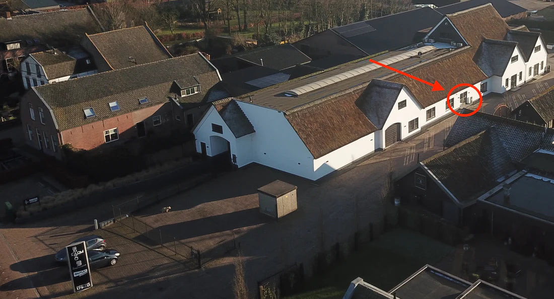
Outlet Specialist does not have a physical store, but works from a warehouse near Kaatsheuvel/Waalwijk.
Would you prefer to take a look first? You are very welcome to view our products before you buy them! That way you know for sure that you are satisfied.
Make an appointment! This way we prevent you from standing in front of a closed door and we ensure that someone is ready to help you.
Pick up your online order? That is also possible by appointment.
Plan your visit: Contact us to make an appointment.
Your article at home today? Come and pick it up!
Order quickly & easily online:
Choose your desired item and add it to your shopping cart.
When paying, select "Pick up" as a shipping method.
You will receive an email as soon as your order is ready in our warehouse.
Come and visit Outlet Specialist!
Our employees are ready to help you.
Pay safely and simple!
You can pay your order in different ways:
Fast and easy online:
Ideal: Pay directly through your own bank. (Dutch customers)
Credit card: We accept various credit cards, including Amex, Mastercard and Visa.
PayPal: Safe and confident online payment with buyer protection.
Pay Klarna afterwards: Receive your order first and pay later.
Other options:
PIN when picking up: Pay easily with your debit card when you pick up your order. This way you can view the article first!
Bank transfer: Contact our employees. They create your order and send you an invoice. As soon as your payment has been received, your order will be sent.
30-day net: For regular business customers there is the possibility to place orders on account. Payment term for these customers is 30-day net.
We ensure a safe and smooth payment experience!
Global shipping with outlet specialist
Outlet Specialist sends your order worldwide! Whether it concerns small packages or large loads, we ensure that it comes. Choose from different shipping options:
For packages:
- PostNL
- Ups
- Fedex
- DHL
- UPS Express
- DHL Express
- DPD
For pallets:
Cargors (fast and affordable shipping within Europe)
Simply select your desired shipping method during checkout.
In this way we ensure that your order arrives safely and quickly to the destination, wherever in the world!
VAT-free orders within the EU
For business customers within the EU with a valid VAT number, we offer the option to order items excluding VAT.
How does it work?
- Enter your VAT number during your order.
- We check the validity of your VAT number.
- After verification you will receive a quotation excluding VAT.
- You can then place your order excluding VAT.
Take advantage of this benefit and order your items without VAT today!
All products on our website are immediately available from our central warehouse in Kaatsheuvel.
Are you ordering today? Then we ship your order within 1 to 4 working days, worldwide.
Prefer to pick up yourself? That is of course also possible in our warehouse.
Zo werkt bieden
1. Selecteer het product
2. Plaats uw bod
3. Wacht op reactie
4. Prijs akkoord
5. Betaal uw bestelling
6. Ontvang uw product
About Outlet Specialist
Discover Outlet Specialist, the online specialist in affordable parts and spare parts for a wide range of vessels: from motor and sailing boats to luxury superyachts.
At Outlet Specialist, the prices are negotiable. Make an offer and get the best price! Prefer to buy directly? That is also possible.
Our stock is ample and is shipped worldwide. Enjoy 24/7 customer service, secure payments, and guaranteed delivery.
Want to view an item for purchase? No problem, make an appointment with our team and view the product before you purchase it.
Outlet Specialist BV
Zuidhollandsedijk 181, 5171TM Kaatsheuvel, Netherlands
We help you search!
Is the desired product not in stock or is it difficult to find it? Place a search with the specific products you need. Our team scans the market and As soon as your desired item is available again, we will send you a notification immediately. This way you are the first to be there!
Place a search
Perhaps something for you?
